Annular Eclipse May 20, 2012
|
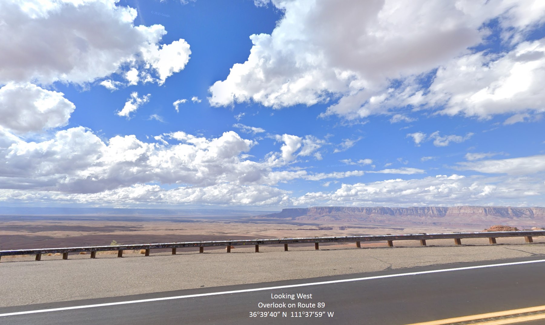
I viewed the eclipse from northern Arizona, south of the centerline off of
U.S. Highway 89, at a spot south of Page. My setup was a Celestron C8 SCT
and Nikon D40 camera (with an ASP-C sensor). Unfortunately, I used filters
that I made out of inexpensive solar film and foamboard, which didn't work
as well as I'd hoped; in particular, focusing the camera through the C8 to
be quite difficult. These pictures are not very sharp, which is most clear
when looking at the sunspot.
The annular eclipse was visible from east Asia, up into the north Pacific,
and then down to the western United States, with the track ultimately end-
ing in Texas. Thus, my location in Arizona was near the end of the path so
the Sun was low in the western sky for the duration. Circumstances such as
this offer some definite ergonomic advantages: you are not looking high in
the sky through binoculars or a telescope to see it! Your neck will thank
you for that LOL.
|
To visualize the scene as it unfolds, when you look off to the west to see the Sun midway down the sky in the afternoon, you must imagine the Moon to the lower right of the Sun, moving upward toward it. As the pair get lower in the west, the Moon quickly bites into the Sun, then covers most but not all of the Sun centrally, and then it moves off upward as both of them set behind the horizon.
The images below depict three phases of the event. The first shows how the
Moon is about halfway across the Sun, just before it covers a sunspot. We
can already see that the semicircle of the Moon is smaller than the one of
the Sun, which is necessary to have an annular eclipse. When the Moon and
Sun are centered on each other, that is called the "Ring of Fire." Since |
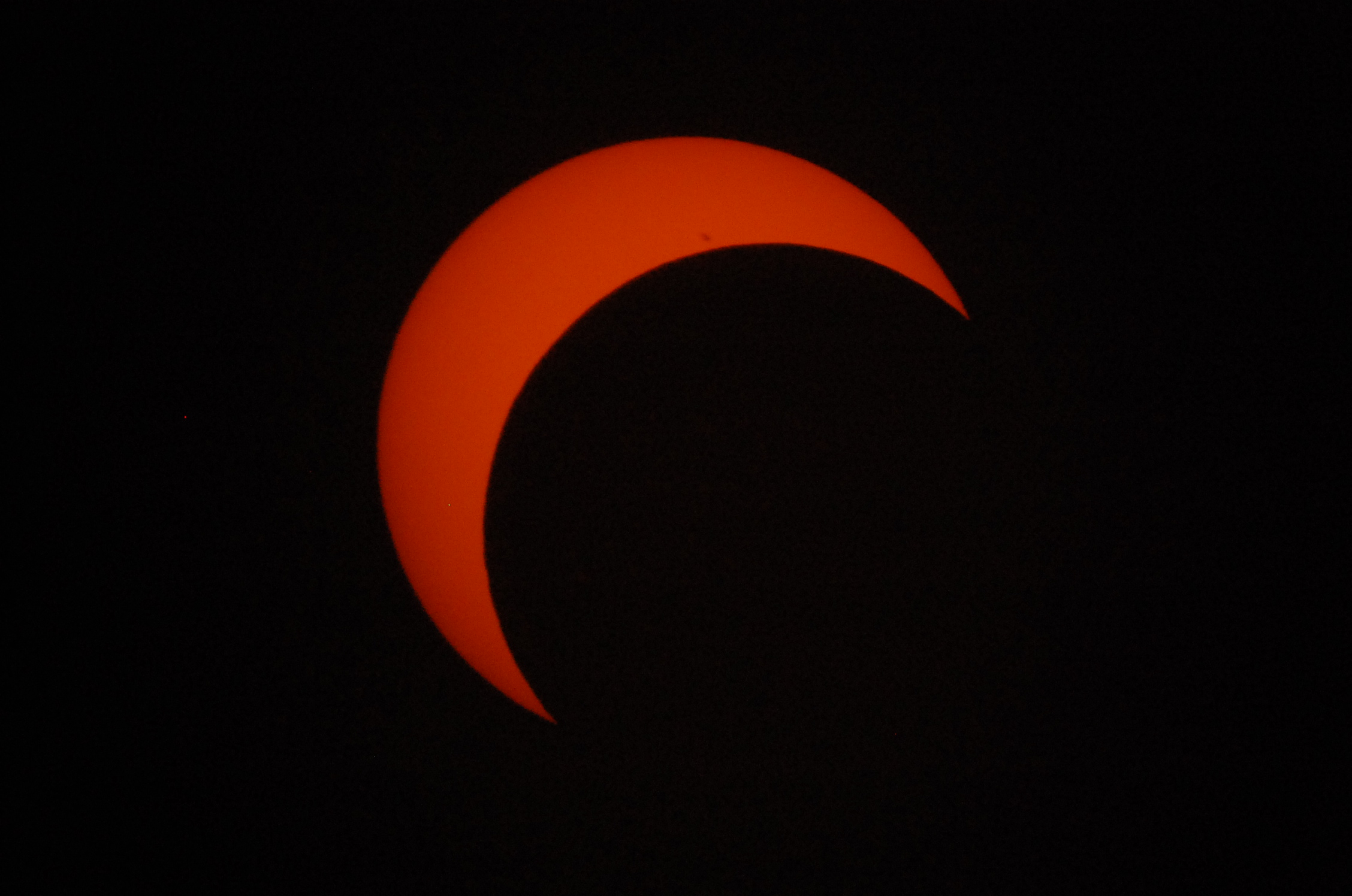 One blurry sunspot group visible |
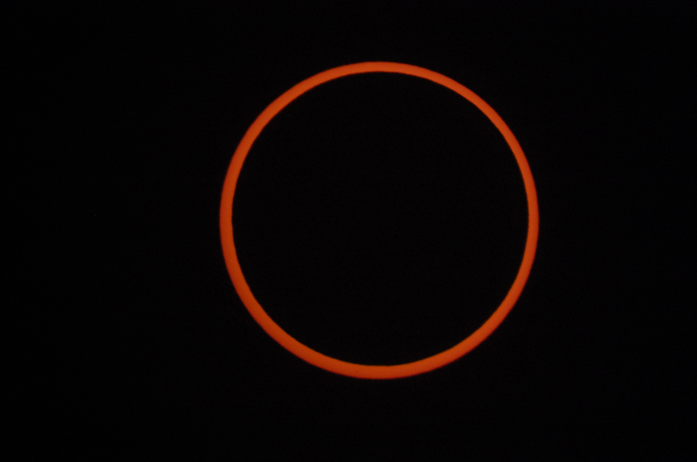 Ring of Fire! |
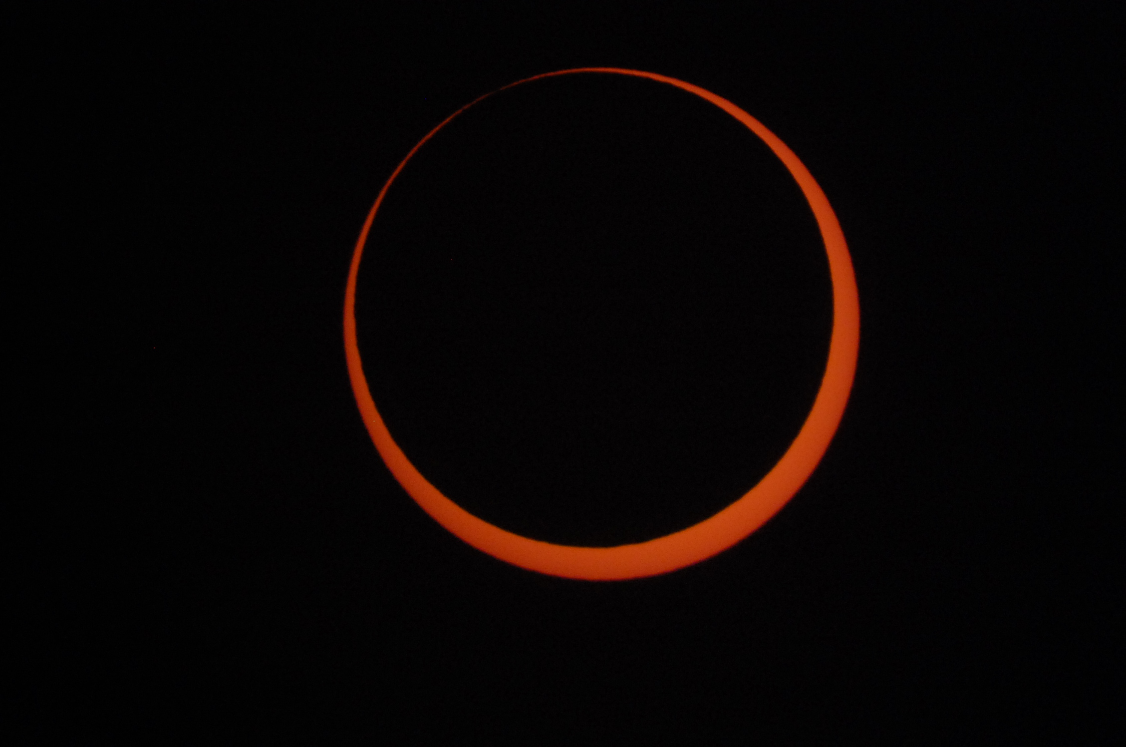 End of the annular phase |
|
|
The video at left illustrates the progress of the eclipse as seen from my location. What the animation does not capture is the changing orientation of the Sun and Moon as they followed their arcing paths down the western sky toward the horizon. I wish I had a natural color full aperture glass solar filter for my C8 at the time, because then my pictures would match the color of the video LOL. The southwestern United States was graced with another annular eclipse in October 2023, one whose path was of a similar track to this one, with the exception that the 2023 event was a morning eclipse for New Mexico. That means one would be looking east to see that eclipse instead of west. The two eclipses are not related by saros series despite the overlap in their paths. |